Price: £3.50
(as of Mar 13, 2026 07:14:07 UTC – Details)
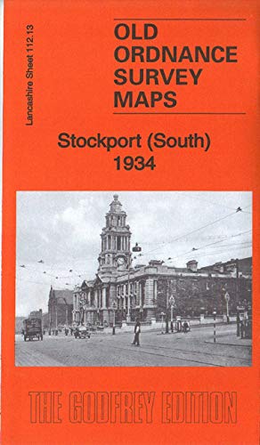
We have published two versions of this map, showing how the area changed across the years. Each covers the same area of south Stockport, from the Town Hall and Edgeley station southward to St George’s church and eastward to Offerton Lane. Features include Town Hall, Edgeley station, Workhouse, St Thomas’s church, St George’s church, Infirmary, Hillgate hat factory, Brookfield Distillery, Hempshaw Brook Brewery, Shaw Heath Mill, Armoury, Victoria Park, Stockport Little Moor area, Heaviley area, Shaw Heath area, Borough Cemetery, etc.
Publisher : Alan Godfrey Maps
Publication date : 28 Jan. 2019
Language : English
ISBN-10 : 1787212084
ISBN-13 : 978-1787212084
Item weight : 222 g
Best Sellers Rank: 3,525,540 in Books (See Top 100 in Books) 143,617 in Travel & Tourism (Books) 355,140 in History (Books)
Customer reviews: 5.0 5.0 out of 5 stars (1) var dpAcrHasRegisteredArcLinkClickAction; P.when(‘A’, ‘ready’).execute(function(A) { if (dpAcrHasRegisteredArcLinkClickAction !== true) { dpAcrHasRegisteredArcLinkClickAction = true; A.declarative( ‘acrLink-click-metrics’, ‘click’, { “allowLinkDefault”: true }, function (event) { if (window.ue) { ue.count(“acrLinkClickCount”, (ue.count(“acrLinkClickCount”) || 0) + 1); } } ); } }); P.when(‘A’, ‘cf’).execute(function(A) { A.declarative(‘acrStarsLink-click-metrics’, ‘click’, { “allowLinkDefault” : true }, function(event){ if(window.ue) { ue.count(“acrStarsLinkWithPopoverClickCount”, (ue.count(“acrStarsLinkWithPopoverClickCount”) || 0) + 1); } }); });
Stockport (South) 1934: Lancashire Sheet 112.13c (Old Ordnance Survey Maps of Lancashire)